Whakaari Conservation Area
Multi-day mountain climbing adventures usually involve two separate missions. The hike to the hut / campsite is one part, then the climbing is part two. Even though the two parts are separate it is important to keep them connected or you might find yourself caught out between the two when it gets dark…
I had dropped all the way down from the Mt Judah Track to the Buckler Burn (river) and crossing it’s icy waters chilled my feet for the climb up to the hut.
The track above the Burn is all uphill on zigzagging bulldozed tracks. With the huts at nearly 1000 metres above the valley floor there are a couple of hours of head down tramping before getting to Long Gully Saddle. The small sign on top of the Saddle would actually be something I’d see again under very different circumstances.
After plodding out the last couple of steps to the hut above the Saddle I needed a brief rest and a chance to take in the epicness before continuing east towards Black Peak(1989m).
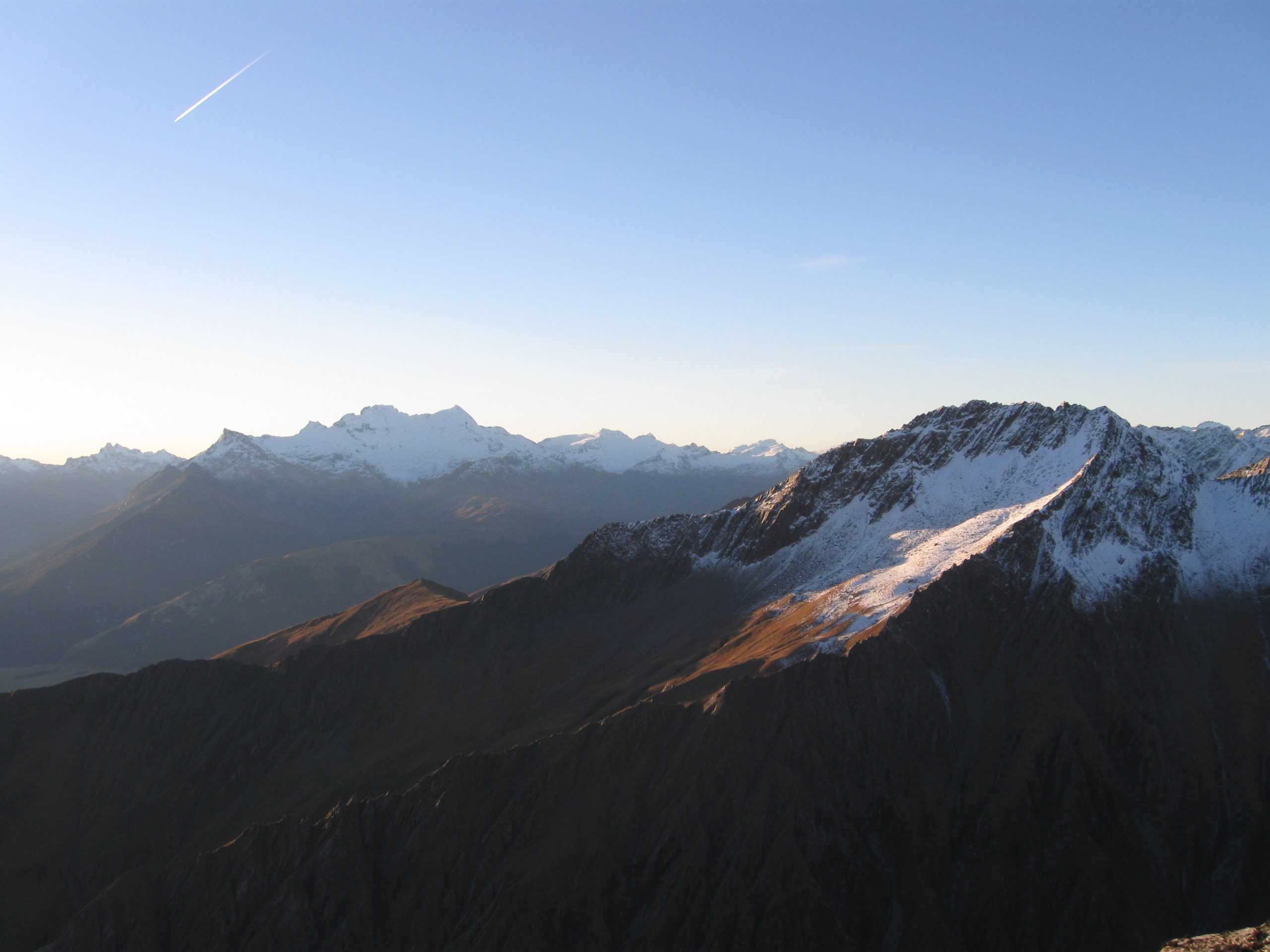
The view looking north from McIntosh Huts is of Paradise (the farm below the huts is actually called Paradise!), and also one of the best views of the huge jumbled chunks of ice that make up Pikirakatahi / Mt Earnslaw(2830m) southface glacier. It was late afternoon when I arrived at the huts but my stubborn inexperienced mind believed I had plenty of time for another mountain mish. And with clear skies above I was excited about my next challenge, Black Peak(1989m).
I dropped off most of my gear at the hut and then carried on towards my goal with a light pack. The going was fairly straightforward to start with, however following the maze of bulldozed tracks from the Scheelite era was a little confusing in places.
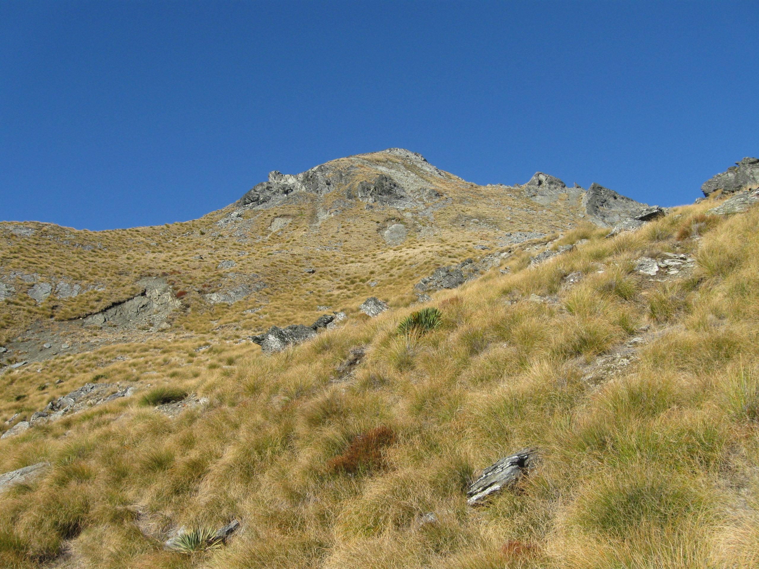
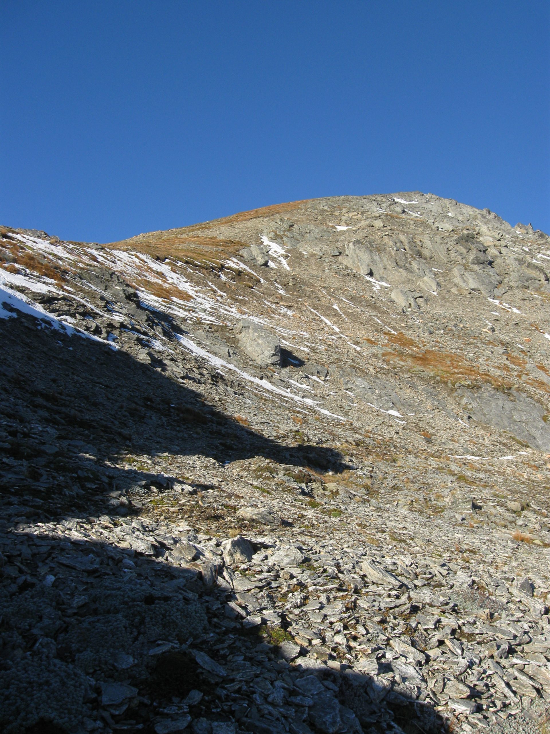
The tracks eventually took me to a point below the north ridge of Black Peak(1989m) where I had to climb above the highest of the tracks to get to the ridge.
I was now in early winter snow which had fallen the day before, and with each step I saw more and more mountain magic. I was nearly at the top and things were good (to say the least).
The cool evening breeze was an excellent addition to what was a warm day in May. I scrambled up the last couple metres to the summit and with a smile ear to ear I threw my fist into the air in triumph.
Along with exceptional views of Pikirakatahi / Mt Earnslaw(1989m) I was up high enough to see Tititea / Mt Aspiring(3033m) and its surrounding mountain kingdom to the north. And to the south were the endless mountains of Fiordland, with Mt Tutoko(2724m) and his ice and rock covered friends looking impressive in the soft evening light.
On the mountain’s snowy southface, icy ridges and gullies dropped steeply to the Buckler Burn - which I had crossed a couple of hours earlier and was now well over 1000m below. I was very surprised to see footprints and the signs of climbers coming out of one of the steep gullies and leading up to the summit. Whoever came up the southface route must have had a huge day and I now wondered where they had got to?
As I began the hike back to the hut I started to realise how late in the day it was, and now prepared myself for the possibility of a hike at night. It didn’t take long for the low light of early evening to give way to the darkness which always follows.
The now near windless evening made it hard to leave the summit and start the hike back to the hut. I had a snack and took hundreds of photos before something told me it was time to go, and when I finally did the sun was beginning to disappear behind the Barrier Range.
With it now pitch black I was high up on the side of a mountain and finding the hut was going to be a little bit trickier than earlier in the light of the day. I reached inside my bag and with some concern I thought “Where is My Head Torch?!”