Black Peak(1989m) · Whakaari Conservation Area
It seems that sometimes no matter how careful we are, we leave some part of our outdoor kit at home. For a long time I had a terrible habit of leaving something in a location that would be no help whatsoever to me when I’m in the wilderness and away from it. On a wander in the mountains of Whakaari I realised I had a problem, it was dark and where’s my head torch?...
As far as excellent walks close to Queenstown go, the hiking in the Whakaari Conservation Area is right near the top of the best / must do list. In less than an hour’s drive you can leave the hustle and bustle of Queenstown, and find peace and quiet surrounded by some incredible mountains…
My fascination with climbing mountains really started to ramp up after completing a mountain travel course in Aoraki/Mt Cook National Park. The course was a good way to give me more of an understanding of my limits, and during it I learnt about mistakes some people make in the mountains (turns out I was making some of those mistakes!).
After learning about the climbing grading system used in Aotearoa, I could start to look for mountains that are a grade I am comfortable with. The top end of Lake Wakatipu not only has some of New Zealand’s best scenery, it also has many climbable peaks ranging from easy walk-ups to ice covered monsters that require not only a high skill level, but also nerves of steel.
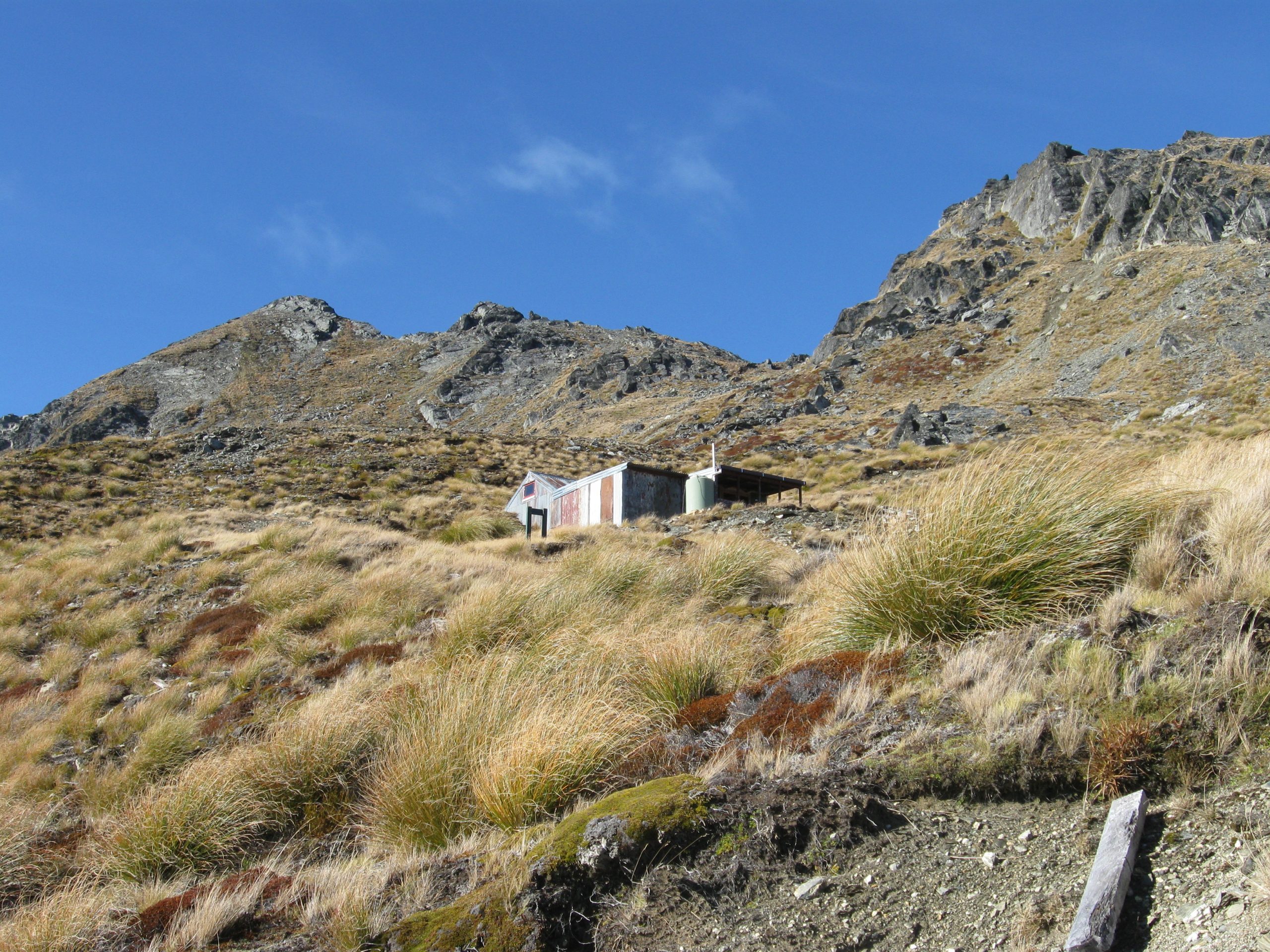
With some time on my hands and the smell of a mish in the air I decided to go for a wander up to the McIntosh Huts, located on the west face of Mt McIntosh. From the hut I planned to climb Black Peak(1989m), located north east of Mt McIntosh.
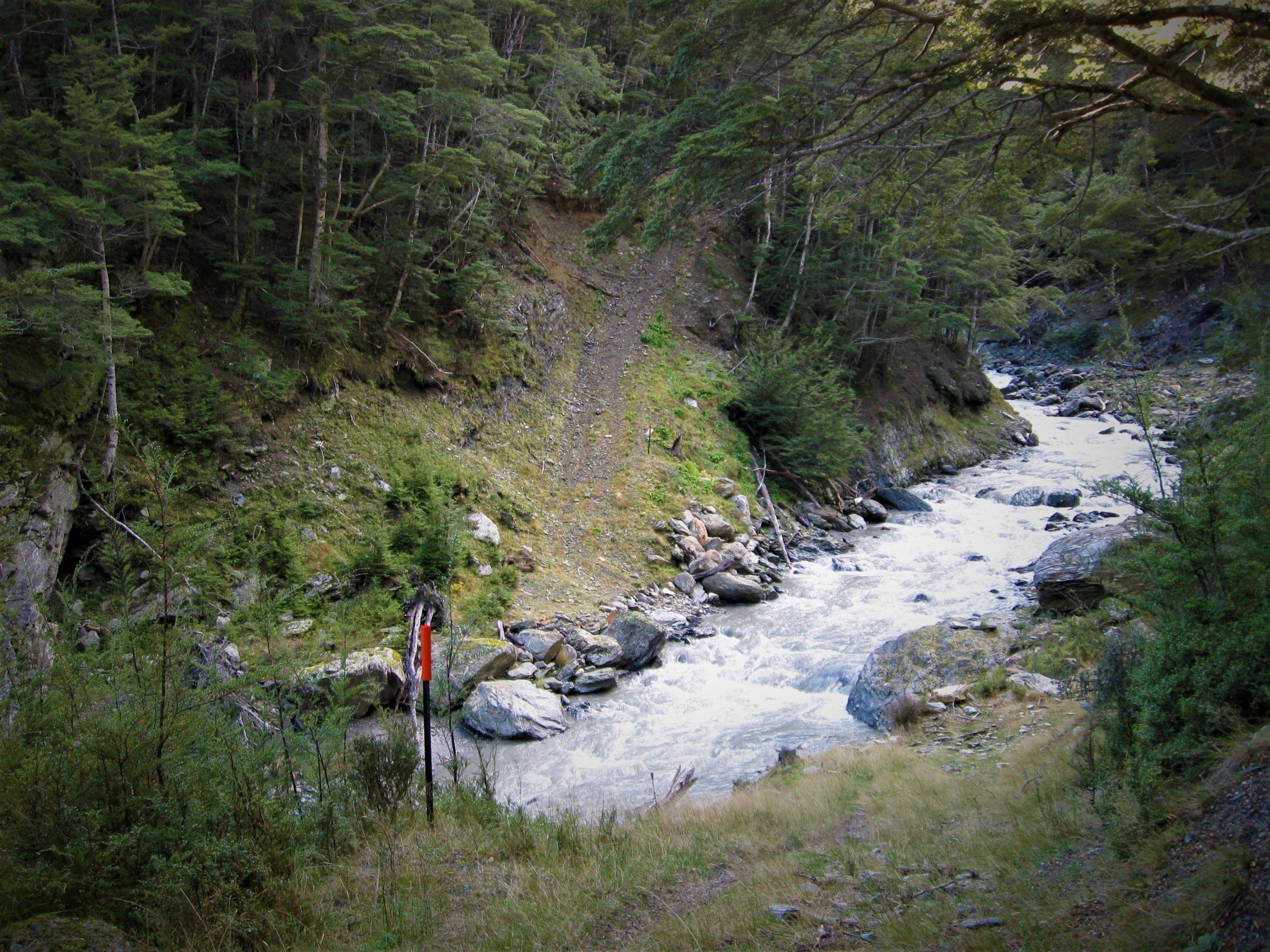
Reasonably easy hiking on historic trails took me into the once booming scheelite mines located east of Glenorchy. The bulldozed tracks which once made travel possible for the miners and their equipment now serve as excellent walking tracks to revamped miners / hikers' huts, all perfect for a night or two in the mountains.
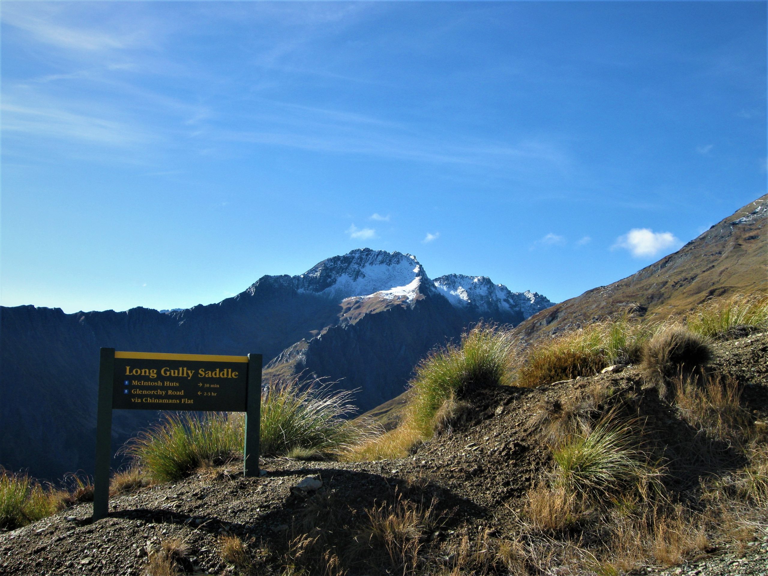
To get the most elevated of all the huts in the area involves a little bit of up and down, as the track spends time on both Mt Judah and Mt McIntosh with a large dip in the middle. The outing can be turned into a loop via Chinamans Flat which means you don’t have to hike on the same path twice.
My plan was to hike up to the huts via the Judah Road, drop off my overnight gear, and then continue on to climb Black Peak(1989m). After climbing the mountain, the next morning I would get back to my car via the track over Peak 1247m and then back down to the Glenorchy Road and the Whakaari Conservation Area car park.
There aren’t many roads in the world as spectacular as the Glenorchy Road. Driving can be a difficult (and dangerous) task sometimes as the views are so enticing you can forget you’re in control of a vehicle and lose yourself in the mind-blowingly beautiful views. It is definitely best to be a passenger on a journey to Glenorchy and beyond.
Somehow I didn’t run into a situation similar to the film ‘Birdbox’ and managed to get to the Whakaari car park.
The bulldozed tracks make walking throughout the Whakaari area very enjoyable, and although the track is wide it hasn’t had vehicles on it for many years, so it doesn’t feel like you are hiking on a road. With that said the track may be wide but it doesn’t make the big uphill slog to the huts any easier.
The McIntosh Huts have a commanding view from their high perch at around 1460m, and when you see the sights for yourself you will understand why the effort is well worth it. I had some kilometres to travel before I could check things out for myself, so I pushed along the Judah Track towards the turn off to Mt McIntosh…