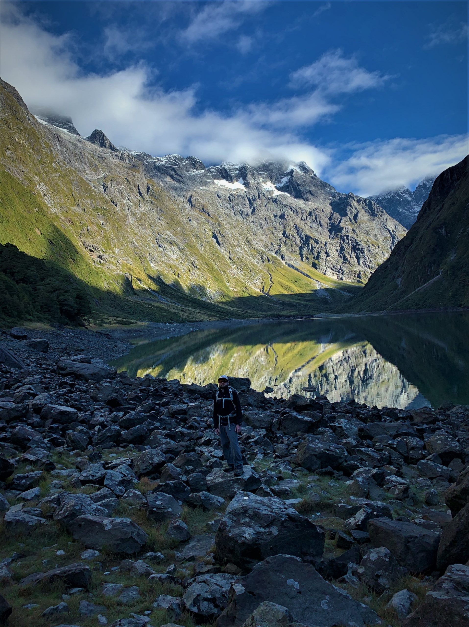
“A Mish a Day” #124 Mistake Creek (U-Pass Basin) – Part One. Fiordland National Park. 1.5.2015. Mistake Creek is a stunning hike, and is one of three marked valleys that carve their way through the Earl Mountains, near the Milford Road in Fiordland. The mountain range is host to some of the finest views in Fiordland, with peaks pointing skywards covered in forest and grasses. The tracks in the area are rough and rewarding, and camping spots are plenty at the head of each valley… This was my first trip into Mistake Creek (of many), coming after a quick overnight trip into the very scenic neighbouring valley Hut Creek. That adventure had fuelled the fire for more so I now wanted to see what Mistake Creek was like. I went on this mish with my girlfriend at the time and together we explored the valley and beyond…
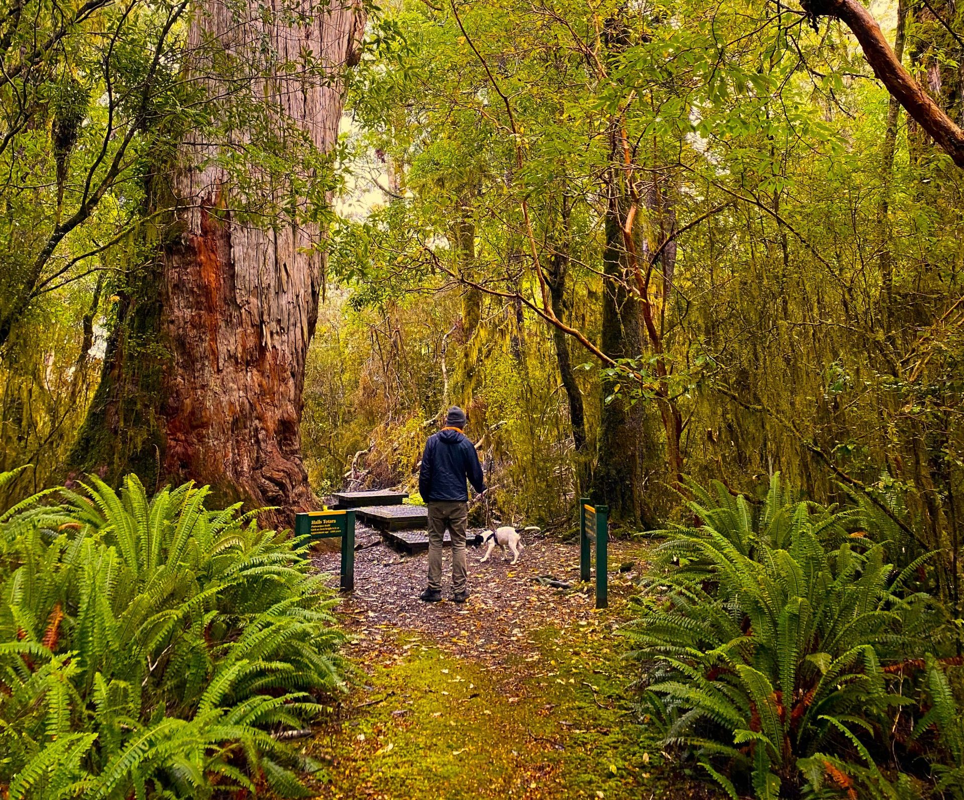
The first part of the hike was following the true left of Mistake Creek at first, then crossing the refreshing water to the true right. The whole time we were hiking in a classic Fiordland beech forest with the local birds investigating our activity. Near the crossing point I spotted the big peaks at the head of the valley for the first time, and this was excellent motivation for us to continue further. The upper section of the valley opens into hebe meadows dotted with small tarns and mountains standing tall on either side. The track vanished into the bog around the tarns (beware of hidden dangers!), so this is where our gaiters were put to the extremes of their capabilities. Every so often what looked like dry ground would act like a trap door in the moss and in places our feet sank deep into the dark mud. The boggy area isn’t very big, and before long we reached the gravel of the riverbed and dry mosses and grasses which made for easier travel up into the head of the valley. Before the final headwall there is a small creek coming into the valley from the west, which leads up to U-Pass(1395m), and this was the perfect spot to pitch a tent and there were signs of previous parties camping in the same area.
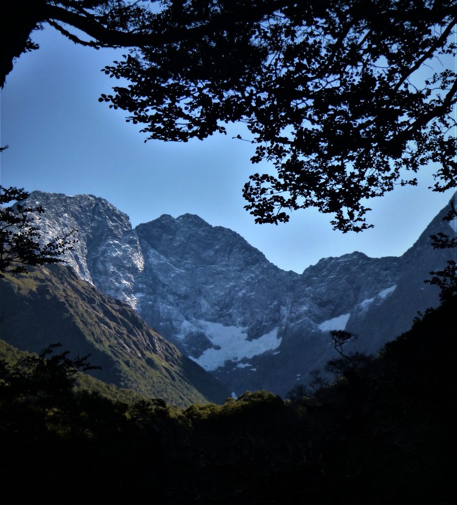
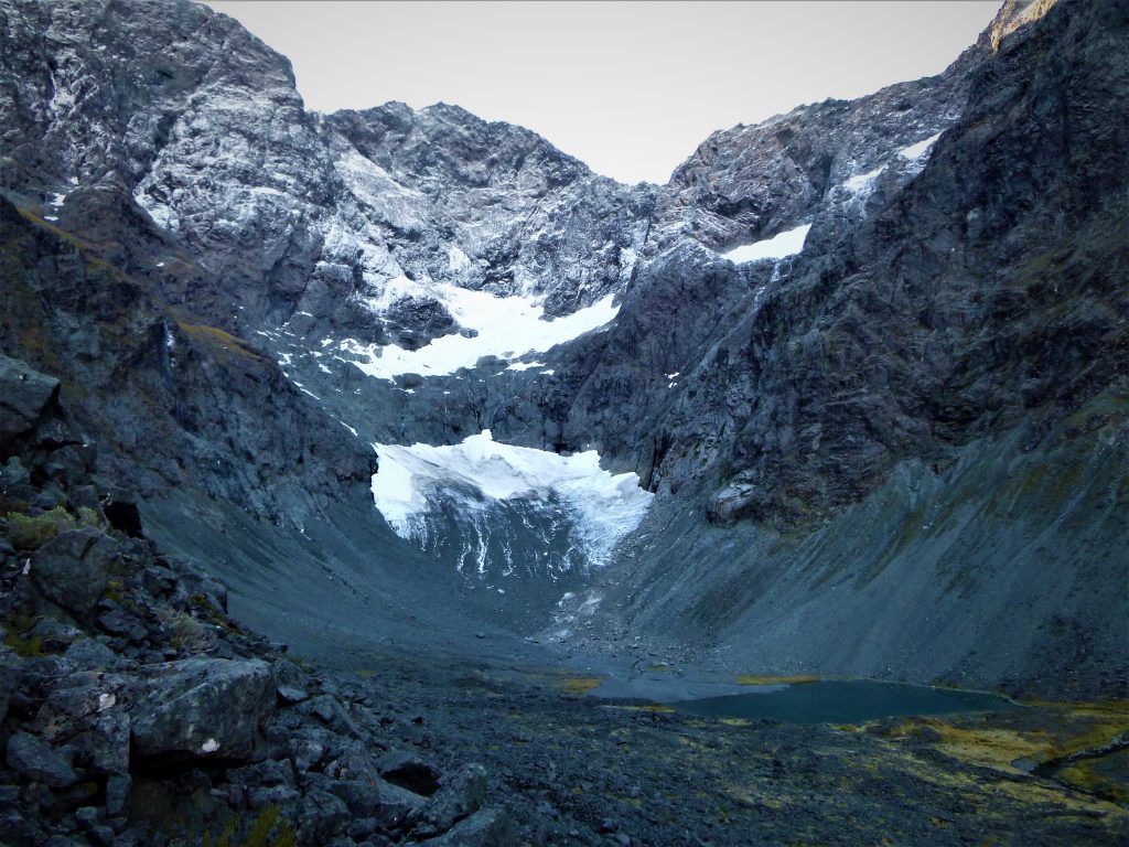
As it was only mid afternoon when camp was set up, to fill in the afternoon we continued further up the valley towards the remains of the once mighty Mistake Creek Glacier. From the upper valley the view back to the rolling rounded peaks of the Livingstone Mountains was outstanding, and a great display of how different the mountains are when compared to the giant rock towers of the Earl Mountains. It was time to head back to camp, as the next day was going to be a climb up to the alpine basin below U-Pass and we needed plenty of rest for that epic encounter…