Wye Creek Bivvy · Wye Creek Conservation Area
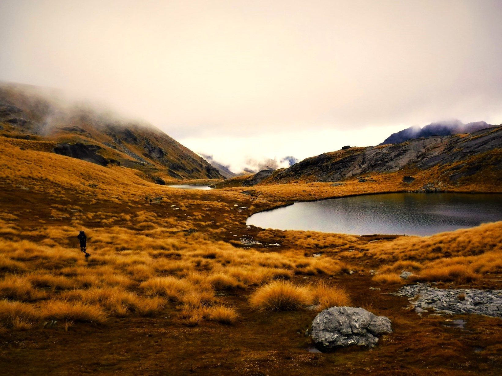
The expression ‘Work hard, go nowhere’ was the normal mantra most lived by when living in Queenstown. The place is a constant party, with every day being a Saturday. With plenty of people around it is not hard to believe that there is nowhere to go to find peace, but not far from town there is a small valley which seems like it is worlds away from the hustle and bustle of New Zealand’s tourist capital…
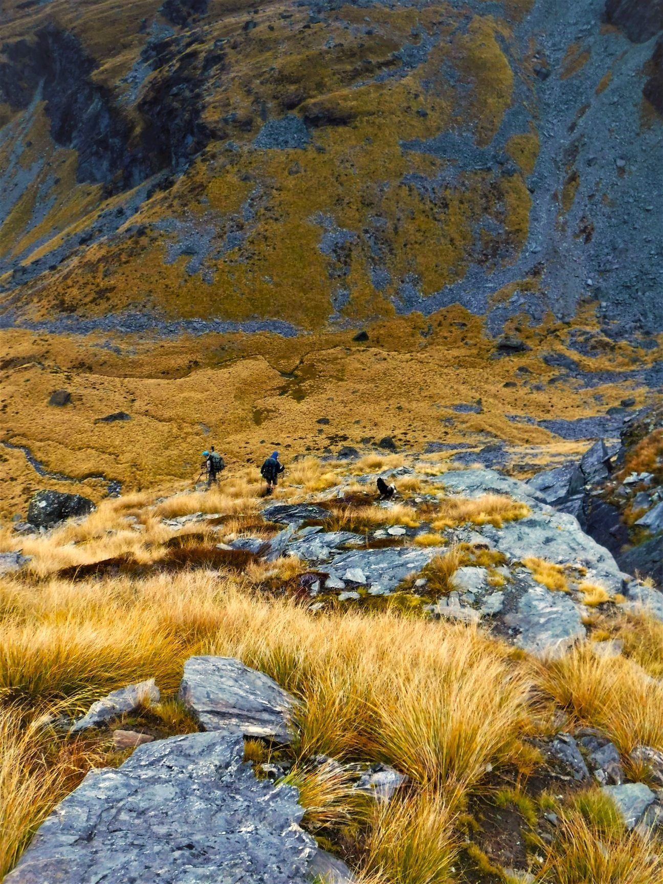
I really enjoyed my six summers (and one winter) living in Queenstown, it led to friendships which are still going strong today. When some of those legends wanted to link up and tackle the Wye Creek Track, I was super keen to come along. Knowing your tramping companions can really elevate a mish, especially when they are all people you know from working on the Routeburn Track.
I love it when a plan makes itself. A last-minute invitation to see the legendary Dave Dobbyn came with the option of a wild Wye Creek Wander. Rock climbing missions had taken me to the lower end of Wye Creek, and an unseasonably snowy camping trip took me to the upper reaches, and ever since that trip I had dreamed of walking the full length of the river that flows out of the Remarkables.
Late April is a real mixed bag in Aotearoa. It can be sunny one minute and then the cold can come rolling on in and if you’re up high, rain can turn into snow. Our weather forecast wasn’t the best for the concert, but Sir Dave made any issues with the rain in the Gibbson Valley go away by cranking out his greatest hits. It was easily the best concert in the rain I have been to, and an excellent way to start my trip to the Queenstown area.
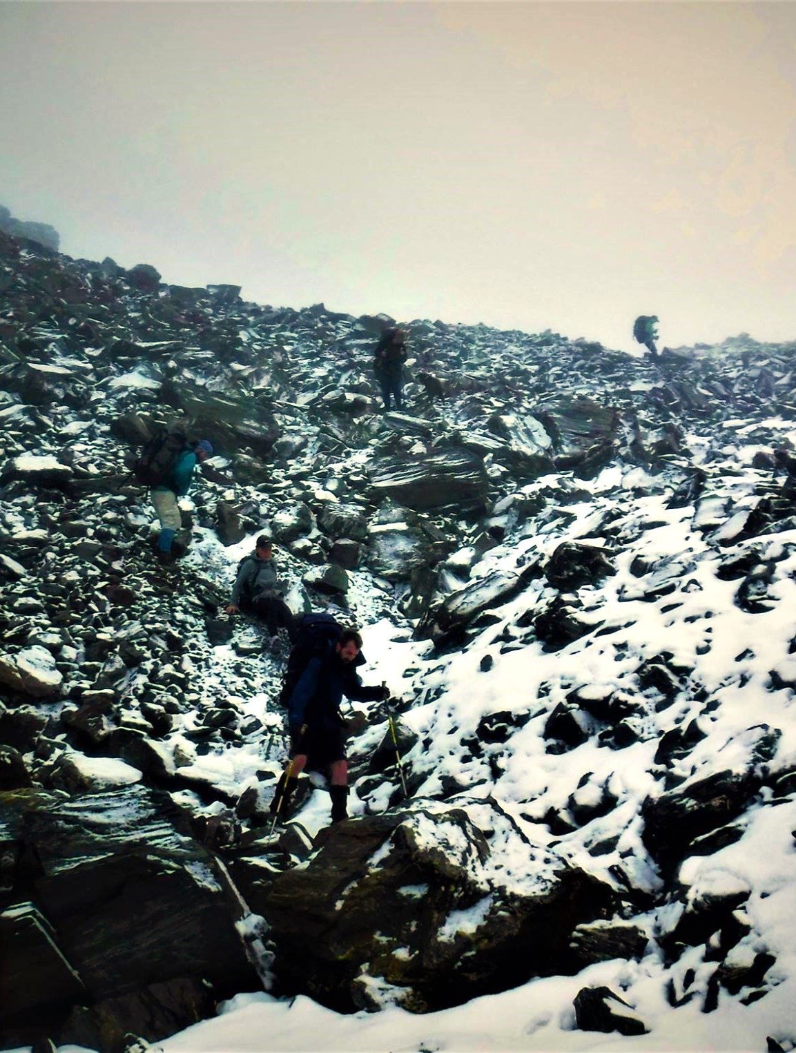
The next day week shook off the haze from the night before, and the new regrouped to get supplies for the mish. A team of eight humans and two dogs was assembled and after gathering a feast for our adventure we drove to the base of the Remarkable Range. From below the team looked up at the grey and black clouds which had swallowed the jagged peaks of the range.
There is a considerable distance between to the start of the track up at the Remarkables Ski Field and the lower end of the track at State Highway 6. Having multiple cars meant we could stash a car at the lower end and avoid the hitch-hike or very long walk back to the start of the track. The team waited while the cars were placed where they should be, and then we drove up towards the dark clouds which engulfed the Remarkables Ski Field.
At first glance you would think it was a winter's day and we were here to ski (if that was the case the skiing would have been terrible!). Snow blanketed the field and after getting underway it was obvious that this was going to be a rather wild undertaking indeed…