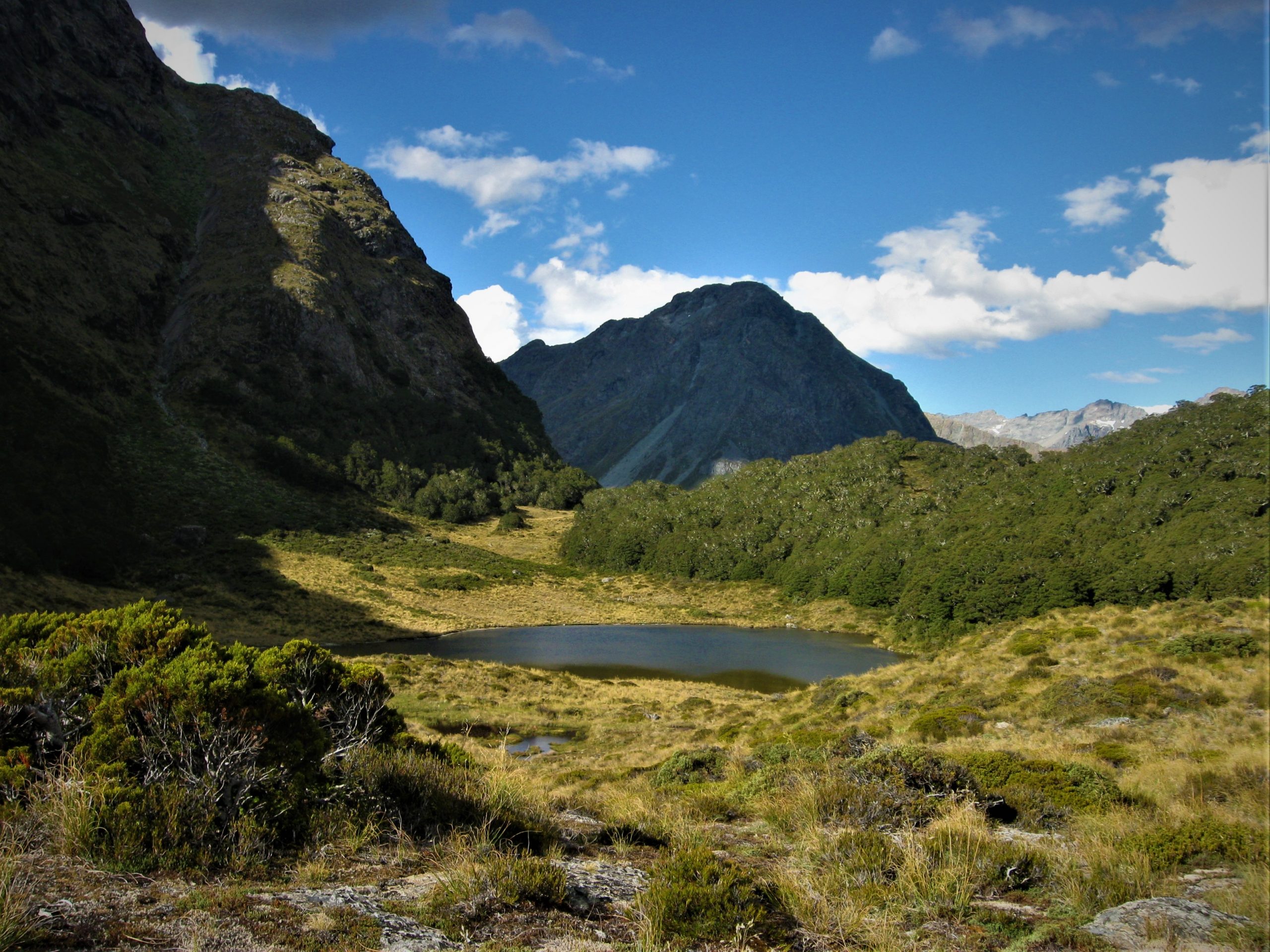
“On a Mish” #43 Walking Off the Map (Part Three). Hakatere Conservation Park. 27.6.2012. One of my favourite ways to fill in time is to look at a topography map of some wild part of Aotearoa. Looking at the steepness and remoteness of our mountainous areas has always fascinated me and has acted as ideas and fuel for future adventures. Maps and knowledge of where you are when going bush are very important and can be the difference between a good time out and a disaster. I would find out the hard way that walking off the map is a bad idea, and can lead to a night under a bush instead of a night by the fire in a cosy backcountry hut…
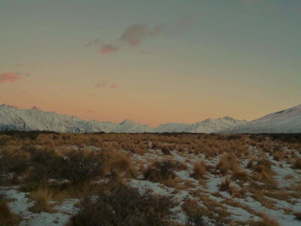
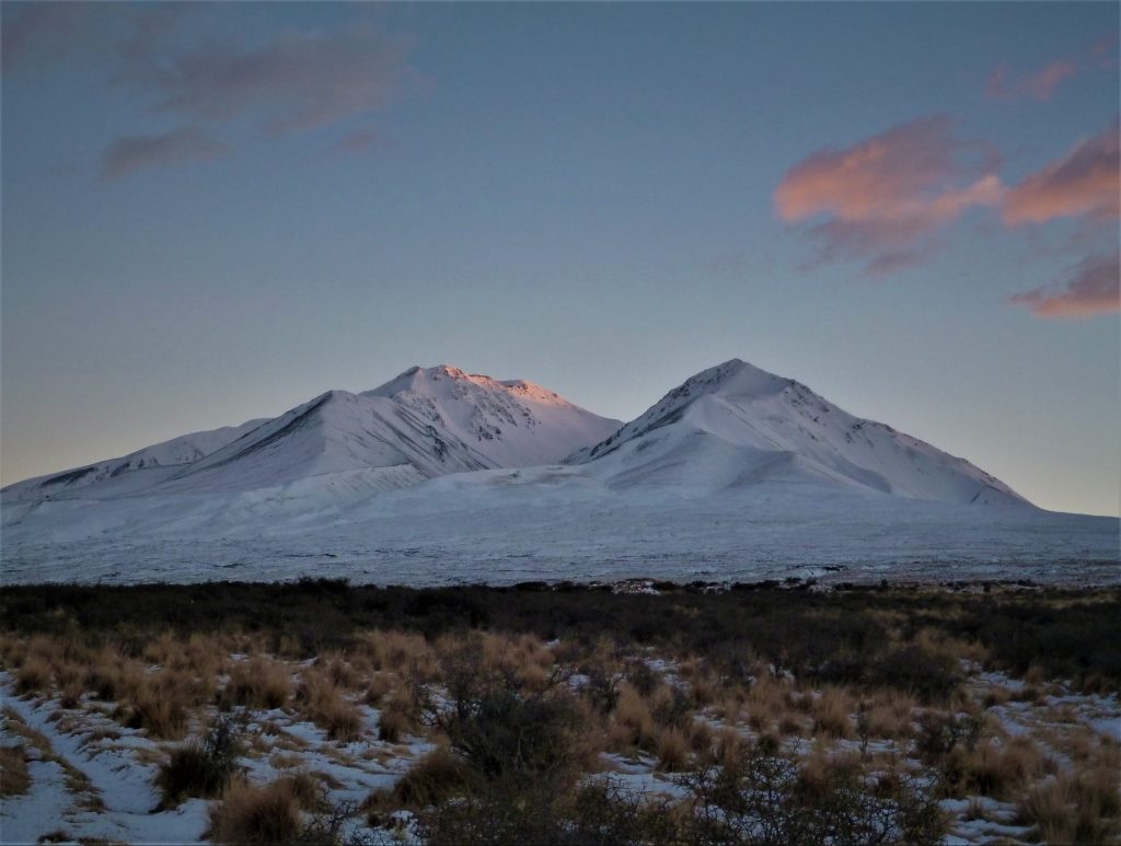
Things would have been a million times different if the weather wasn’t on my side. As it turned out, I witnessed one of my most memorable sunrises from my camp under the matagouri. The snow was temporarily pink as the first rays of light hit, and then slowly the area came to life as more and more was revealed. It was a spectacular place to end up, and it was all thanks to walking off the map.
The snow made it easy to retrace my steps and I discovered after getting back home that I had walked / trudged / dragged myself just over 23km to get to my unexpected matagouri shelter. The unplanned journey was much further than I had intended to travel so the total round trip was 46km of plugging through deep snow for most of the time. My legs were aware of the work they had done during my time lost in Hakatere Conservation Park.
Because I went much further than anticipated I was late returning to my car. I always notify someone of two times when going on a mish. First is the time I expect to be back, and second is a panic time, usually a couple of hours beyond the time I expected to finish. This long and unexpected mish meant time had trickled passed the panic time I had left with my parents. After finally driving back into reception, I was bombarded with text messages, missed calls and notifications wondering where I was. I would learn later that a local helicopter had been put on standby if needed for a rescue / recovery mission!
The mission taught me many things, and I am happy to have had the experience to teach me to be more prepared in the future and to NEVER walk off the map into the unknown. After this mish I have been back to the area many times and now know the lay of the land very well. I have even returned and spent a few successful nights at Boundary Creek Hut, the hut I never got to on the first attempt. Looking back now on many occasions I have laughed at what happened and will never forget when I walked off the map and had an unplanned night under a spiky bush in no-mans-land!