Christchurch · Heathcote Valley
The large lumps of volcanic debris that make up the Port Hills and Banks Peninsula were a barrier for early settlers in Christchurch and other parts of Canterbury. The port at Lyttleton sits in a fortress-like setting, with rolling hills on all sides apart from one small passage out to the Pacific Ocean. The tunnel has definitely sped up the journey from port to city, however the tunnel wasn’t always there...
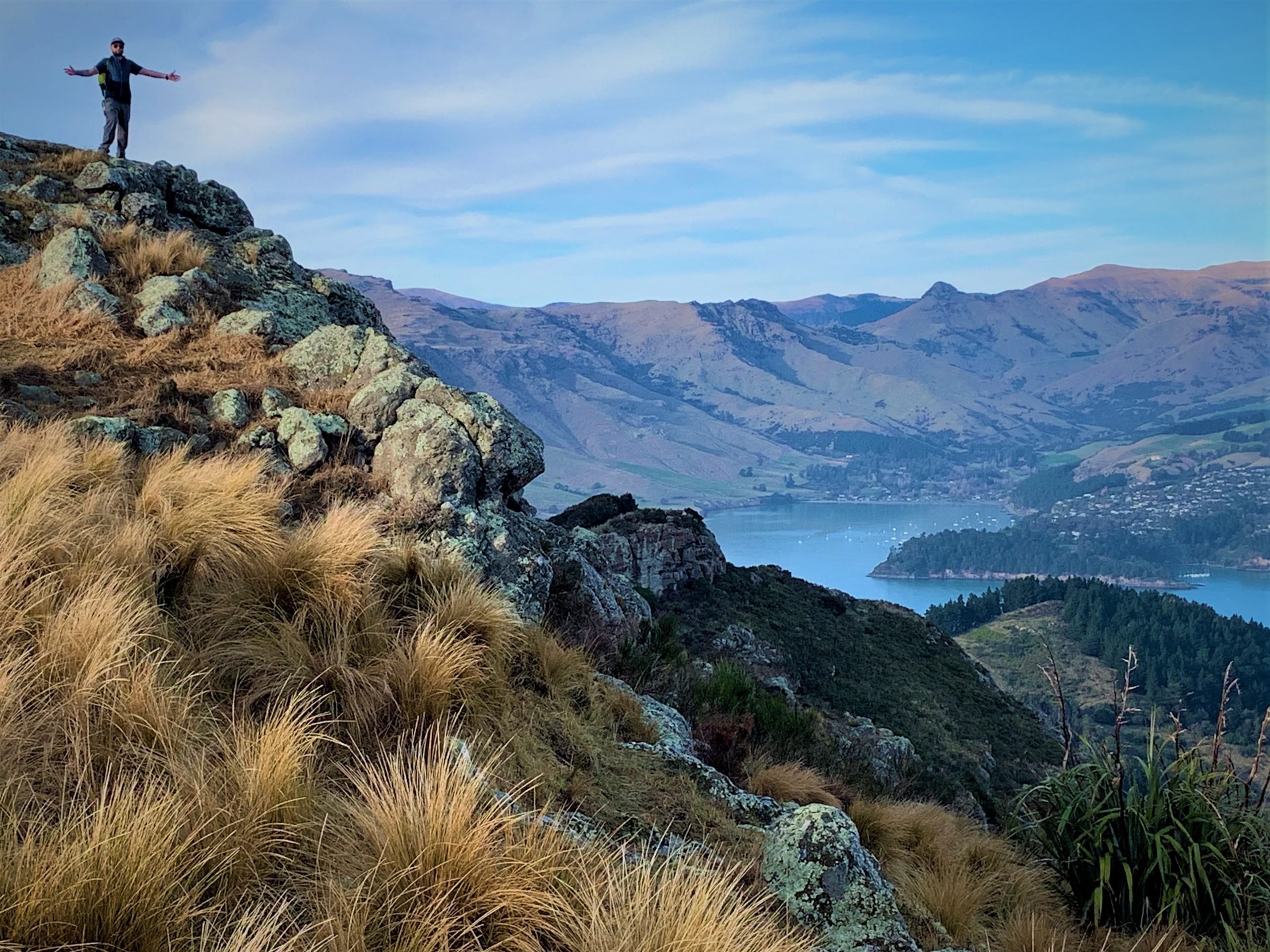
Several tracks exist over the Port Hills to Christchurch, and directly over the location of today's tunnel is the Bridle Path. Now a hiking / running track, it used to be the only way over / through the hill. Being lucky enough to get winter work on the Fiordland Navigator in Patea / Doubtful Sound meant the gap between summers working got a lot smaller and I no longer needed to spend my winters working up in Christchurch at McEwings Ski & Board. I did manage to get back up north to spend some time with Te Whanau, and while in town Jeremy and I (plus Dennis) decided to head to the hills (Port). The Port Hills offer easy access to ground perfect for training on before heading into the big mountains of Aotearoa, and the place is covered in excellent hiking tracks. Somehow over the years I had never hiked up the Bridle Path Track, which climbs up out of Heathcote Valley.
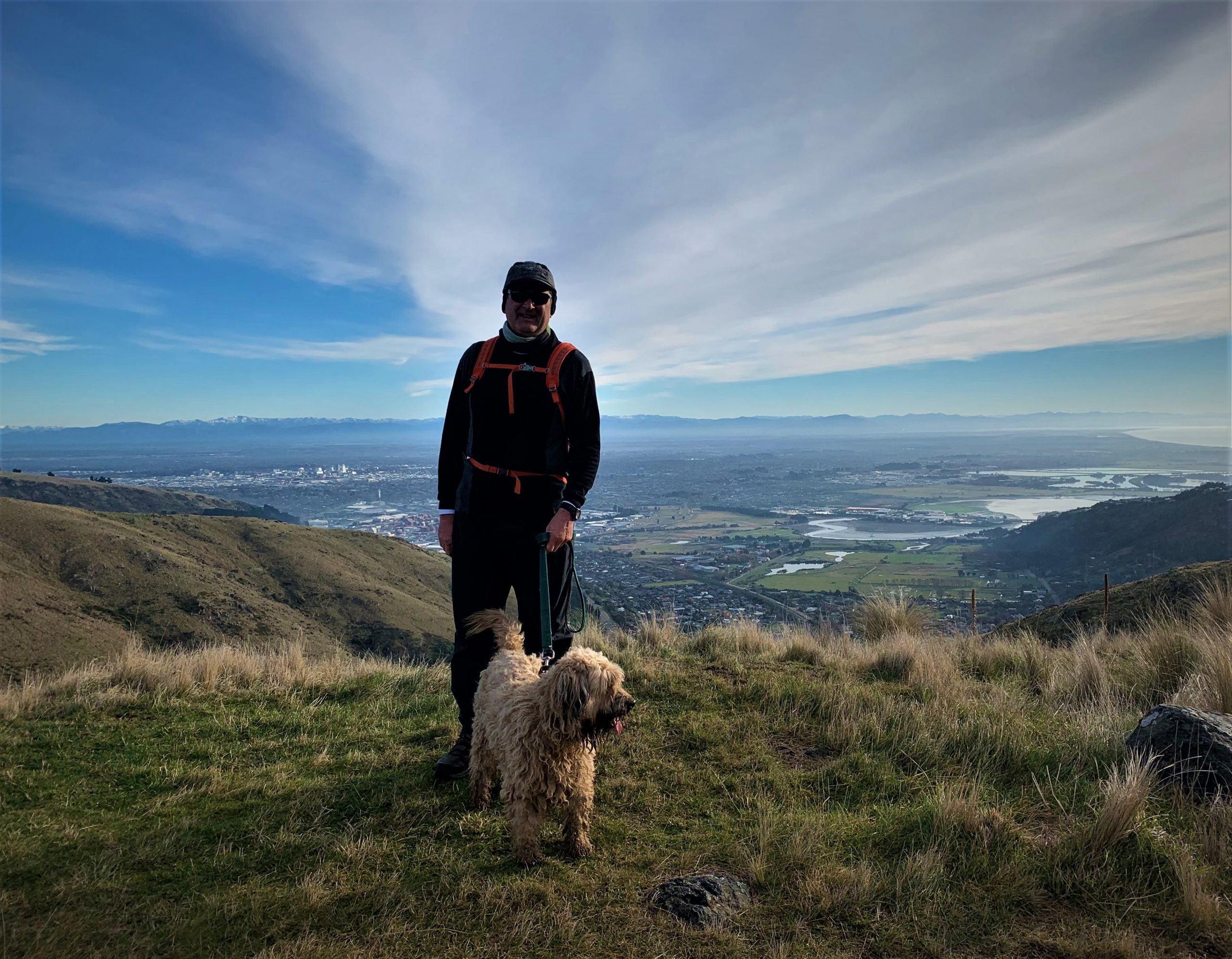
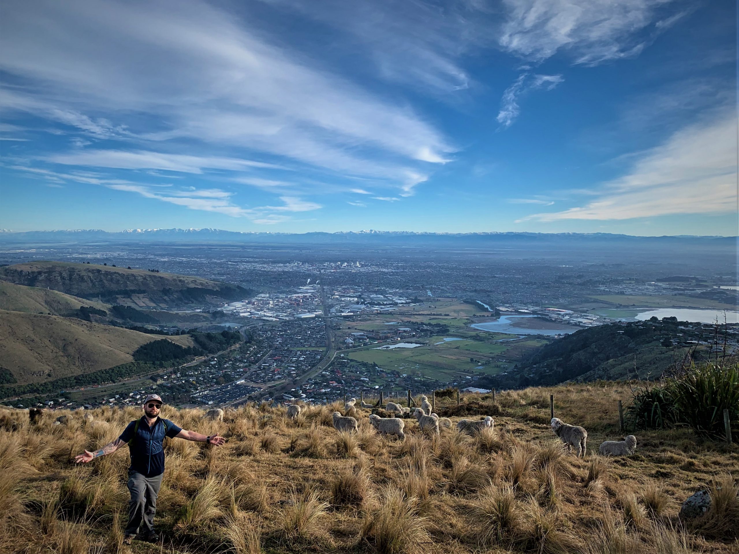
We were away early-ish, but still by the time we got to the small car park at the base of the track it was nearly full. The track was busy with fitness enthusiasts of all abilities, from joggers to sloggers. Dennis the dog led the way up the zigzags to the summit road. From the top of the track we walked the closed section of the once public road. The Christchurch earthquakes weren’t kind to the Port Hills and the suburbs below. The evidence of the quakes is still very visible in the area. Scars and debris are visual reminders of tough times of the past. Parts of the road were damaged beyond repair, and now the road acts as a good cycle / walking trail. In one part the road reaches a bluff and most of it has fallen away into the valley far below. We pushed onto Oketeupoko / Mt Cavendish(445m), and from the top we had excellent panoramic views of Canterbury. High cloud made for outstanding photos, and after taking many we continued on towards Tauhinukorokio / Mt Pleasant(499m). Someone must have put the word out about the perfect conditions, because when we got to the summit of Tauhinukorokio / Mt Pleasant(499m), we walked into a One News film set. They were packing up by the time we got there, so we would have to wait for another chance for our five minutes of fame. We made the track a loop by descending into the suburb of Mt Pleasant, and then around the base of the hills back to Heathcote. Only taking a few hours, the mission was a great success. Views and a good workout, what more could you ask for?!