Mt Isobel(1319m) · Hanmer Springs Forest Park
Surrounded by mountains, with an abundance of hiking, biking and sightseeing, Hanmer Springs is Queenstown’s more mature, less populated cousin. Located at the northern end of the Hanmer Plain, it is only a short drive from Christchurch and the rewards make the drive very worthwhile... I really like the way the basin the town is located in looks on the map, almost like someone has used a giant stamp to make a level area amongst the mountains of North Canterbury. This becomes apparent after you cross over the deep gorge of Waiau Uwha River, and enter the large flat area. North of the village is the closest 'accessible mountain’ Mt Isobel(1319m), and it can be climbed in many different ways...
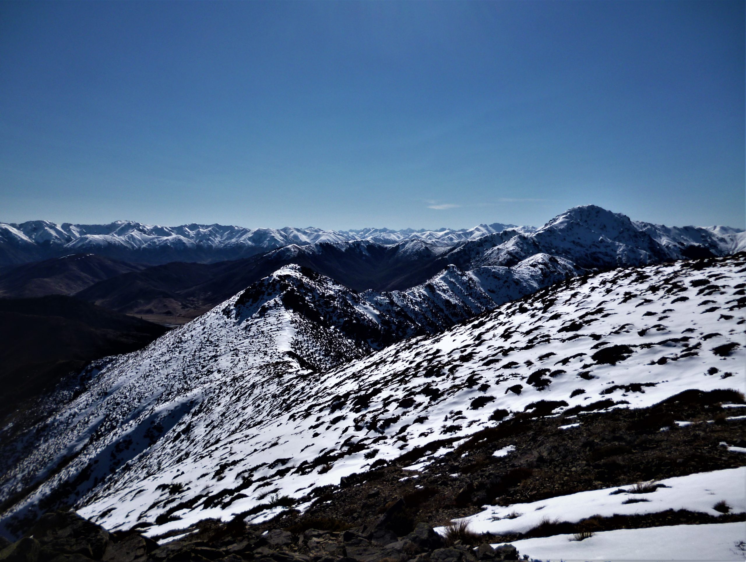
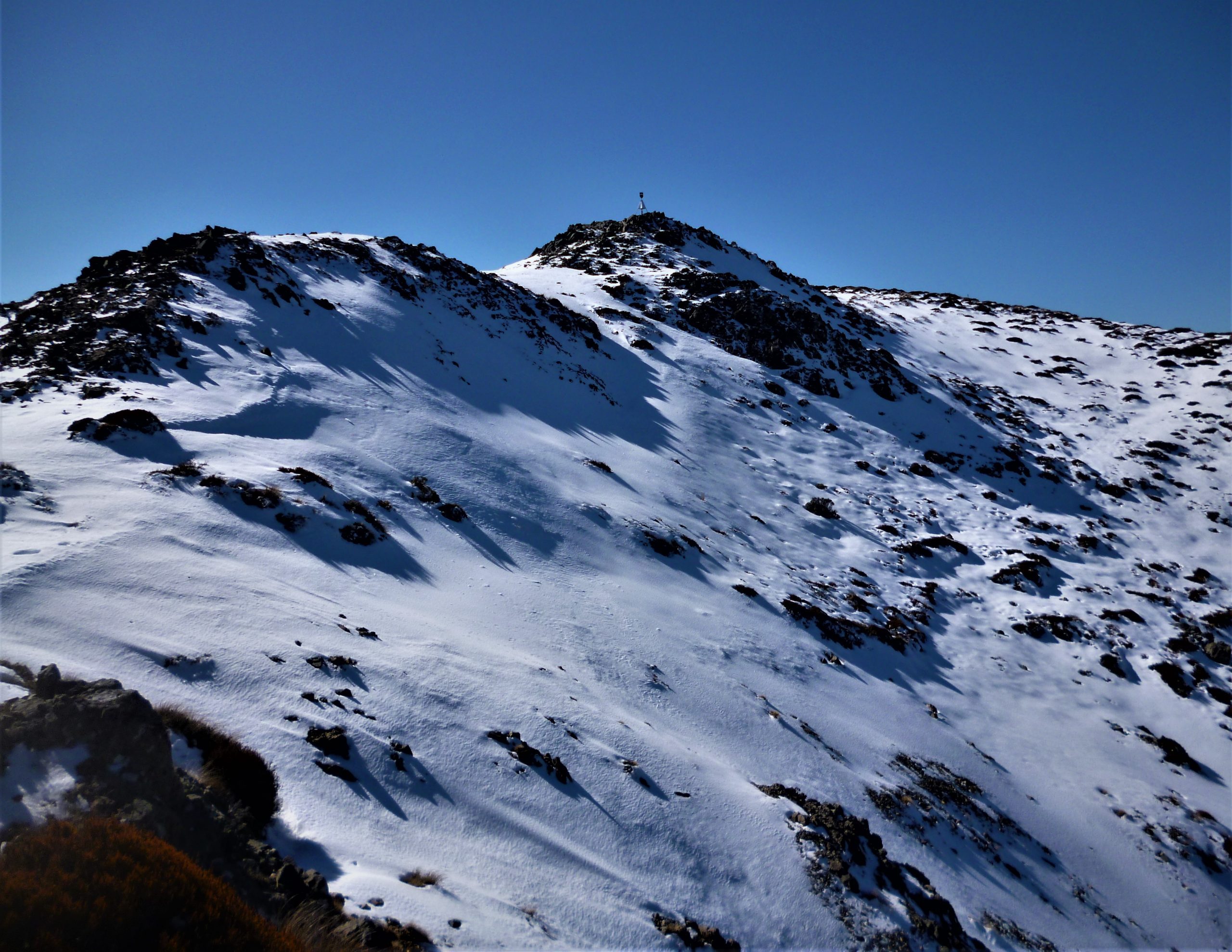
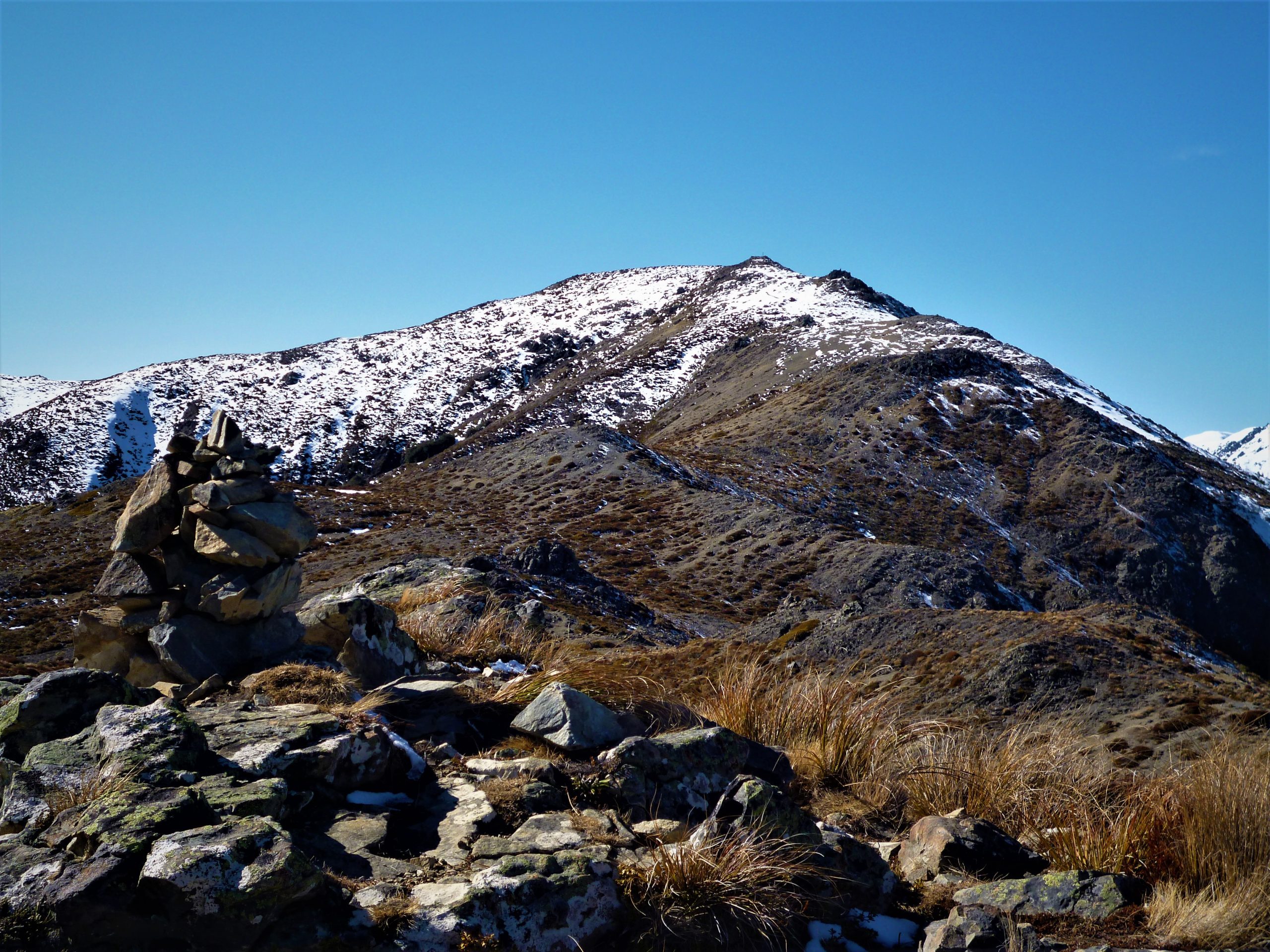
I was lucky to get a head start on the peak, as I got a ride up to Jacks Pass(851m), which cut out a lot of the up-hill slog from the village. Jacks Pass itself is an interesting location, as it is the best access road to the Upper Clarence Valley, and the massive Waiau Toa / Clarence River which runs all the way to the coast. The track up Mt Isobel(1319m) from Jacks Pass starts off east through open alpine tussock, and not long after leaving the road I was crunching my way upward above the winter snowline. The track climbed higher into the snow, and as I gained altitude I got my first view south of the Hanmer Plain, and the mountains of the Tekoa Range beyond the broad basin. It was also at this point where I saw the trig(summit marker) for the first time. Like a beacon sticking up out of the snow on the summit, I now had a target to aim for and it acted as the final motivation to get me to the top. The summit view was a couple of notches above superb. Maukuratawhai(1615m) in the north, was looking awesome in a white winter coat of snow, and then beyond was the endless peaks of the southern end of the Inland Kaikoura Range. Also for variety, far below Mt Isobel(1319m) was the silty waters of the Waiau Toa / Clarence River weaving its way through the mountains to eventually arrive at the Pacific Ocean many many kilometres away just south of the township of Kaikoura. After soaking in the summit visas I now had to turn my attention to the return journey back down to Hanmer Springs Village.
My way home was now back down in the village, so to get there I decided to descend via the Dog Stream / Waterfall Track. The track had the extra bonus of a visit to the impressive Dog Stream Waterfall(41m), and then the sheltered track(super icy) down a series of staircases back to town. I was lucky to have my hiking boots on, as I really needed the grip on the ice covered slippery staircases, luckily there are railings to hold on to while carefully creeping down each set of stairs. The snow from the night before had frozen solid on top of each steep and a fall would be a nasty way to end my mish. It didn’t take long before I saw more and more people and then was out of the trees and away from the icy ground. I was now back on the roads of Hanmer Springs, and could now enjoy the easy stroll back though the delightful little mountain town. I have been back up Mt Isobel(1319m) many times since my first mish, and every time has been epic. When in Hanmer I highly recommend a wander up the mountain, however beware of ice during winter when climbing Hanmer Springs mountain!