“On a Mish” #229 Oldest Trail in the Park. Pass Creek Track. Fiordland National Park. 4.5.2014. Going overseas to places like Japan and Nepal has shown me how young Aotearoa New Zealand really is. Hiking on a trail that has been used by locals for more than a thousand years isn’t possible in my homeland, thanks to the fact that it remained uninhabited while the rest of the world was populated. Oddly, the oldest trail in Aotearoa that I have hiked is in our least populated national park…
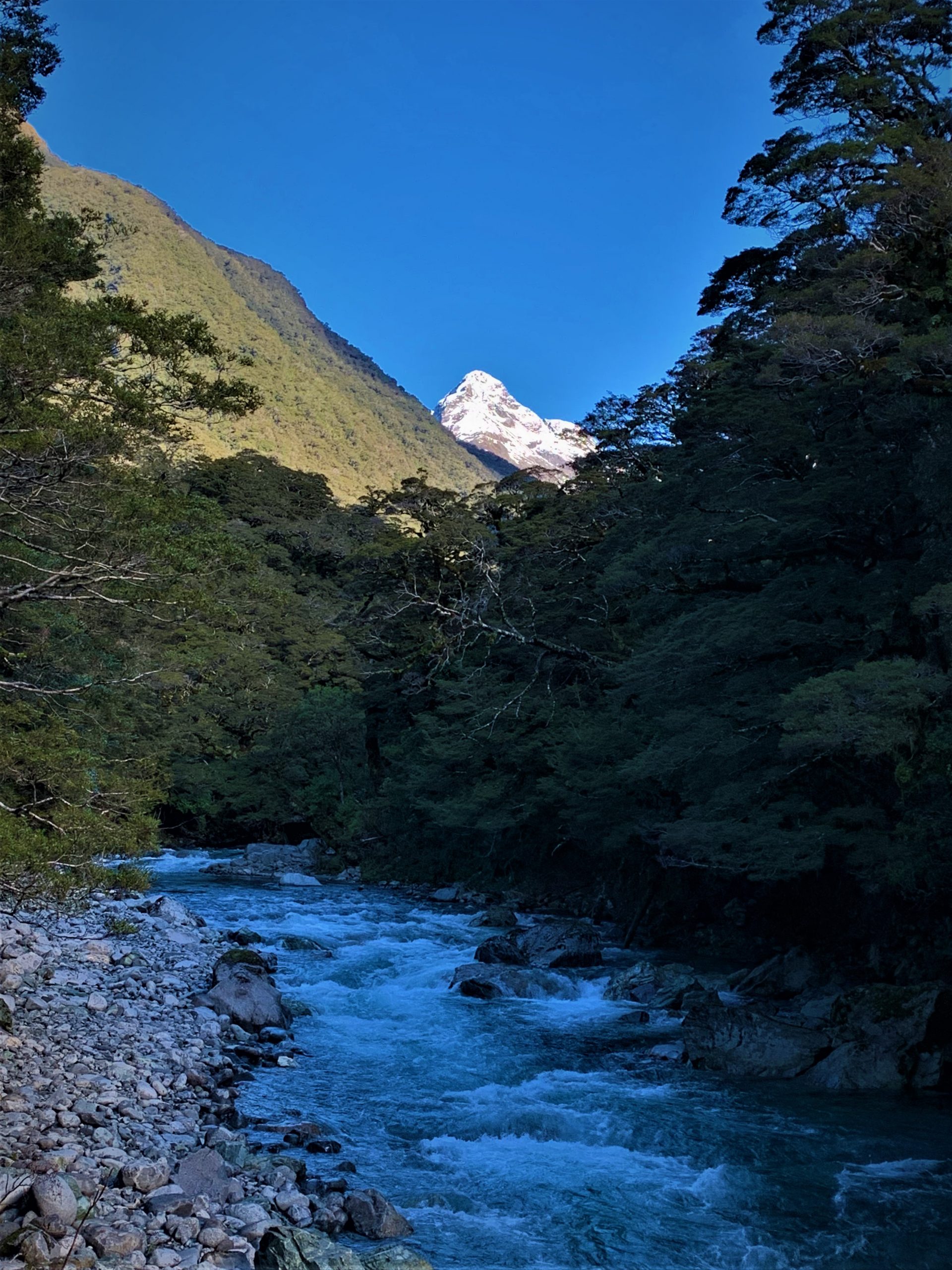
The great Māori Rangatira (chief) Tutoko used to live near the sand dunes at Whakatipu Waitai Pa. The small village is located at the end of Whakatipu Ka Tuka / Hollyford River and is a very important part of the Pounamu (greenstone) transport route. Very rare and extremely valuable Pounamu was transported from Piopiotahi / Milford Sound up the rugged Fiordland Coast, and then up the Hollyford via Tutoko’s Village. Tutoko was visited by early European settlers and his importance to the area led to the biggest peak in Fiordland being name ‘Mount Tutoko’.
As gnarly as the journey along the Fiordland Coastline is, it was just the beginning of a mission of many kilometres on foot with a chunk of rock. I am always amazed when I see the lumpy land that had to be covered by near super-human Māori Toa. Most of the way they went is now road or on trails near human settlements, but there is one small stretch that remains mostly untouched since the days of the great Pounamu pilgrimages.
I wandered past the Pass Creek Track turnoff more than one hundred times before I would get a chance to hike on history. My day to tackle the track would come post Routeburn Track hiking season, and it would be part of an excellent couple of days spent at Gunns Camp (R.I.P).
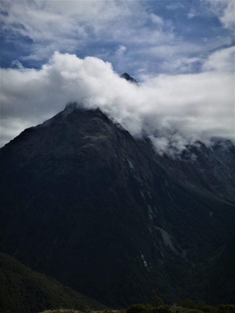
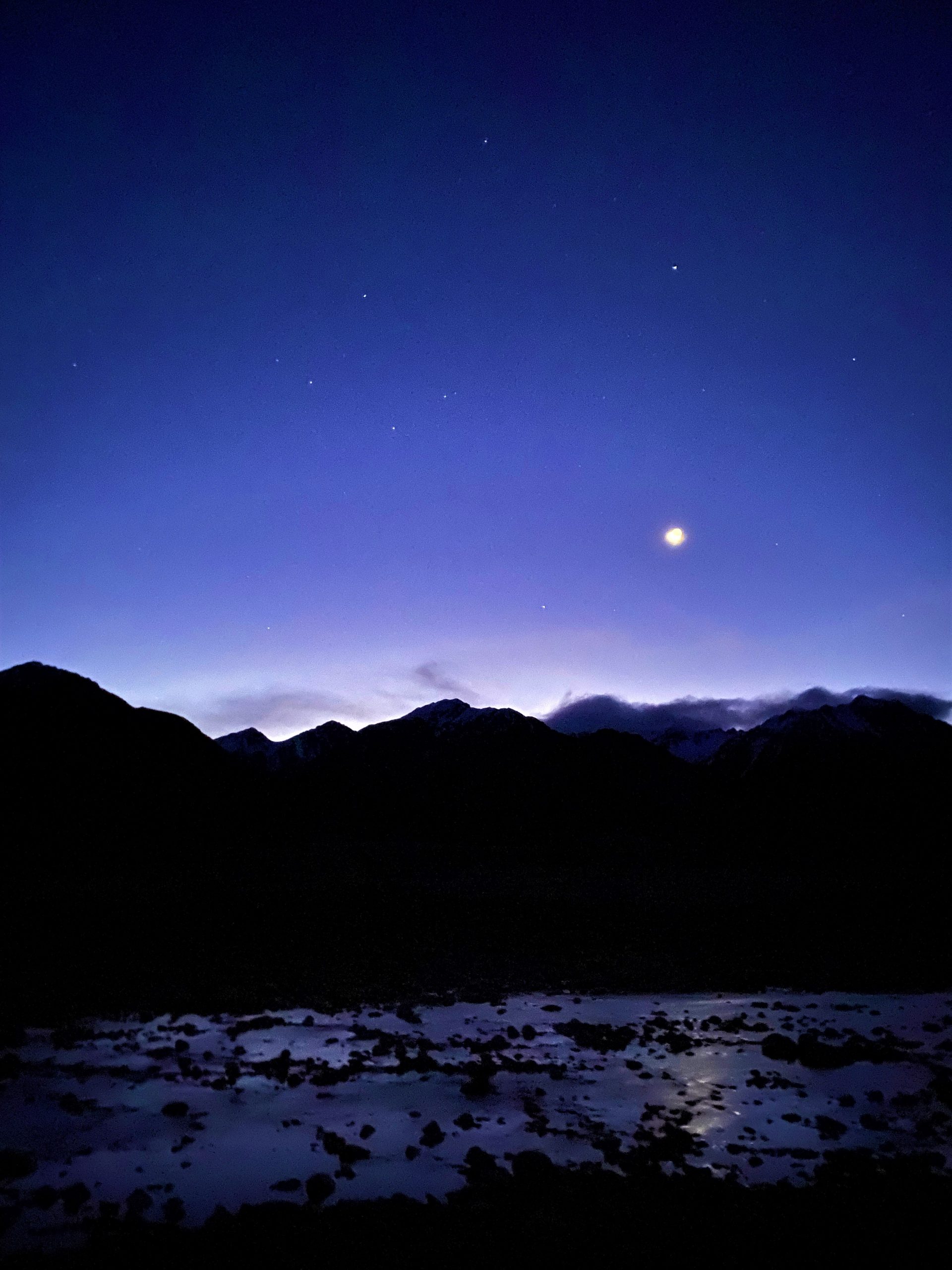
Whenever I have stayed at Gunns Camp my plans have involved going further or higher into the mighty Darran Mountains. The remote range is a place controlled by the weather, and when the sky denied the opportunity to hike high, I looked for another way to spend my days. Gunns Camp is (was) in the perfect location for exploring paradise.
Misty skies clearing was the forecast written on the whiteboard in the Gunns Camp Kitchen. Originally, I wanted to check out the upper Hollyford Valley, but thanks to wind and remaining cloud I finally got a chance to trek where the ancient Māori once walked.
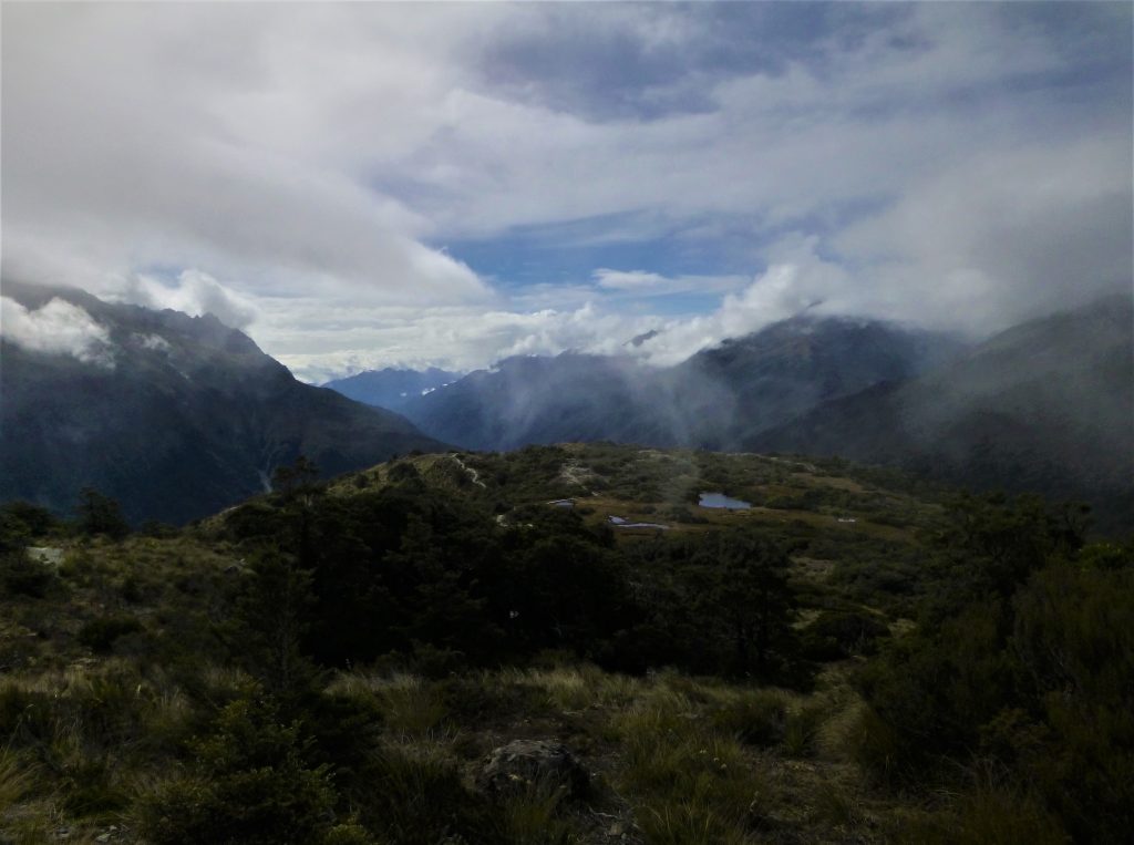
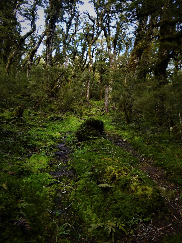
The pressed soil and beaten tree roots had been trampled into a well-worn path which weaves its way up from the Mid Hollyford to Lake Howden where it meets the Routeburn Track. If these trees could talk, they would tell tales as old as Aotearoa. I decided to add a trip up Key Summit to my mish, and this gave me glimpses down Whakatipu Ka Tuka to where Tutoko once lived.
The trip up and down Pass Creek is an easy wander which most ignore for bigger and better trips in the area. If you get the opportunity to visit Fiordland and the Hollyford Valley, I recommend a hike up the oldest track in the park. It might not seem like much at first, but once you’re immerged amongst the ferns and forest you will feel the historic footsteps, and for a short time imagine you are a Toa carrying Pounamu as it is transported throughout ancient Aotearoa…