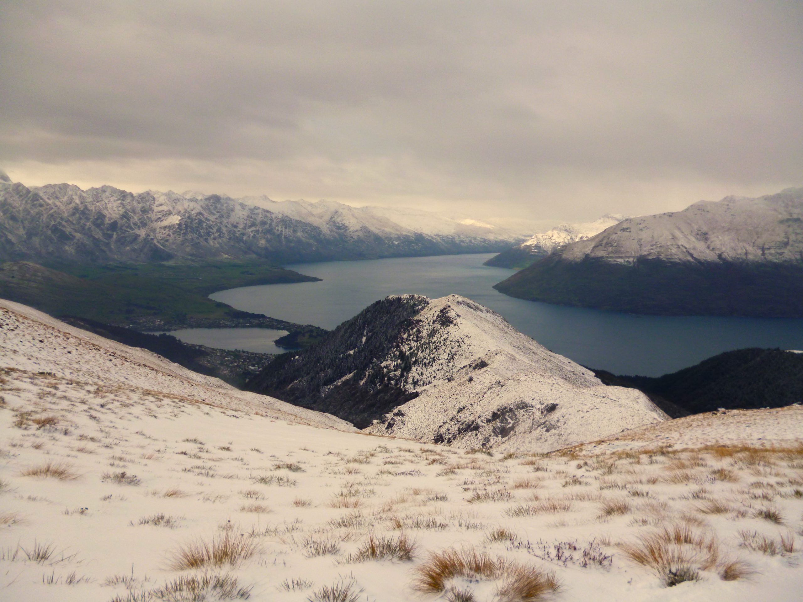
Bowen Peak(1631m)
For the most of it, New Zealand’s rugged scenery sits far from the populated areas. The harsh environment meant places close to the coast were where the Māori and then Europeans settled, and it would be the lure of gold that would eventually drag the masses inland. A nugget of gold in the figurative and literal sense brought people to one of Nz’s most prized gems, Queenstown. And not far from New Zealand’s adventure capital sits the mountains Ben Lomond and Bowen Peak…
For years I called the Ultimate Hikes guide flat home. The busy little houses reside in the gorge between Queenstown Hill and Bowen Peak, and while the location might not get much sun, it stays warm with the many guides coming and going. At the start of the 2011 guiding season the warmth was needed as snow still hung low in the hills. I had completed one round on the Routeburn and was looking for something to do on my day off. I didn’t need to look far for something to do as it stood tall directly behind the flat.
The snow was probably the reason why I set off solo towards my goal. Along with the frost crunching underfoot, there were icicles hanging where moisture once dripped, and a steady stream of steam puffed from my mouth like I was a train thundering along its tracks. A good pace would be needed to keep me warm on this mish.
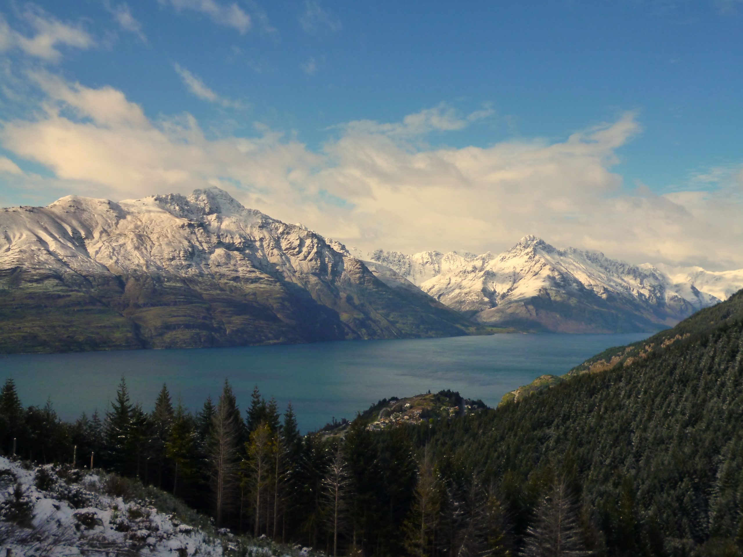
I got to the base of the gondola and the start of the track up to the Moonlight Saddle and my goal. This is the way most people go when climbing Ben Lomond, and the track would conveniently help with getting me up high. It was good to be away from the cars and concrete of the town and into the mountainous playground that surrounds it.
There were places on the track where water would form puddles and each of these were frozen solid. I had to stay focused on my feet to avoid taking a tumble on one of the tracks booby-traps. My walking poles were working overtime on the lower reaches of the peak.
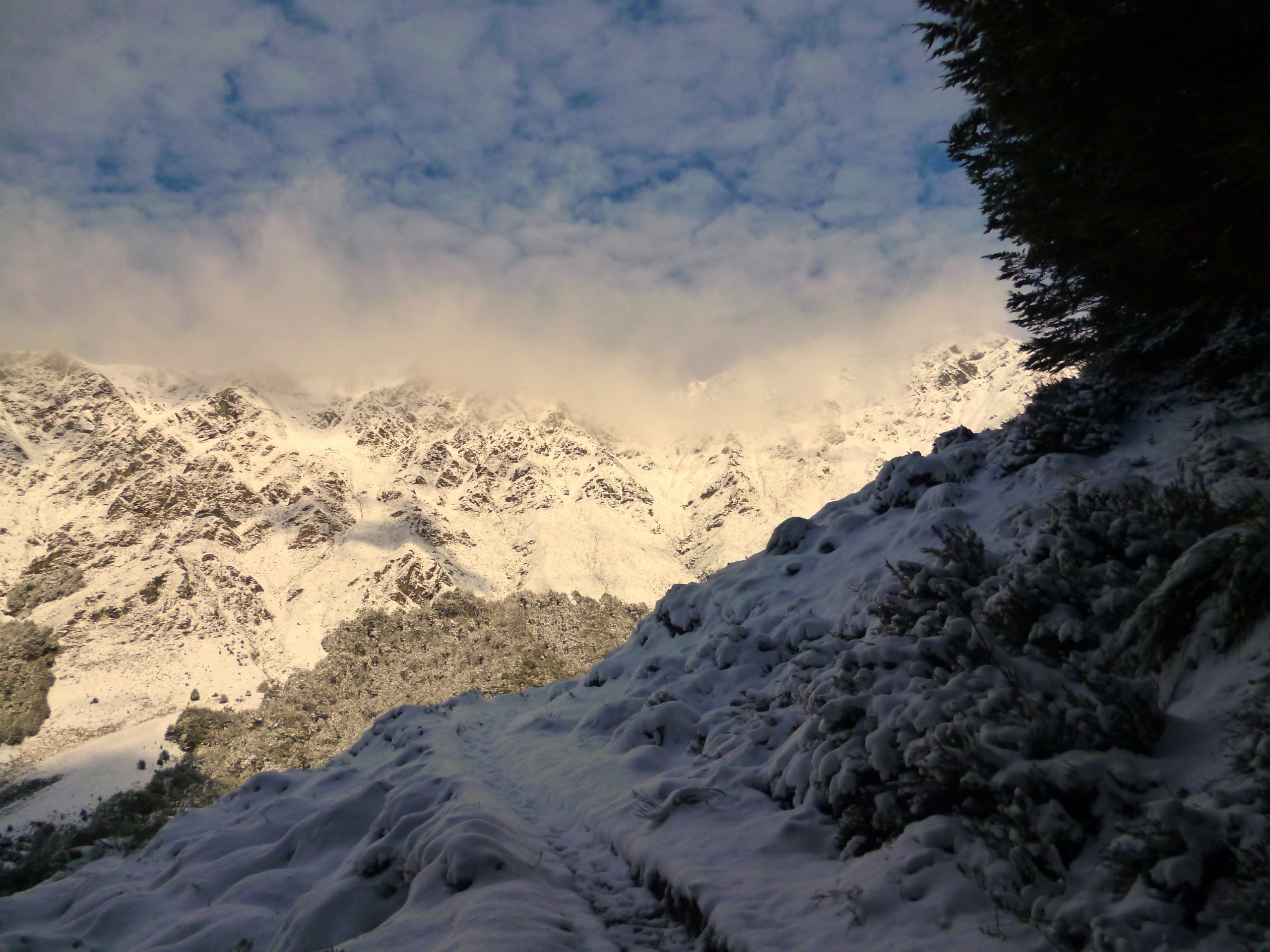
As time drifted on, I hiked higher. And with each step the views got better but there was a view consuming mist slowly rolling over the tops. With blind ambition and a disregard for what could take away my vision, I pushed onwards towards the Moonlight Saddle and summit of Bowen Peak. Little did I know that it would be long before I would find myself with my head in the clouds wondering where I was…